The east: Haleakala, the rainforest and Hana
Where the waterfalls are, and why they have no viewpoints
The crater, the closed valleys, and the coast the road follows.
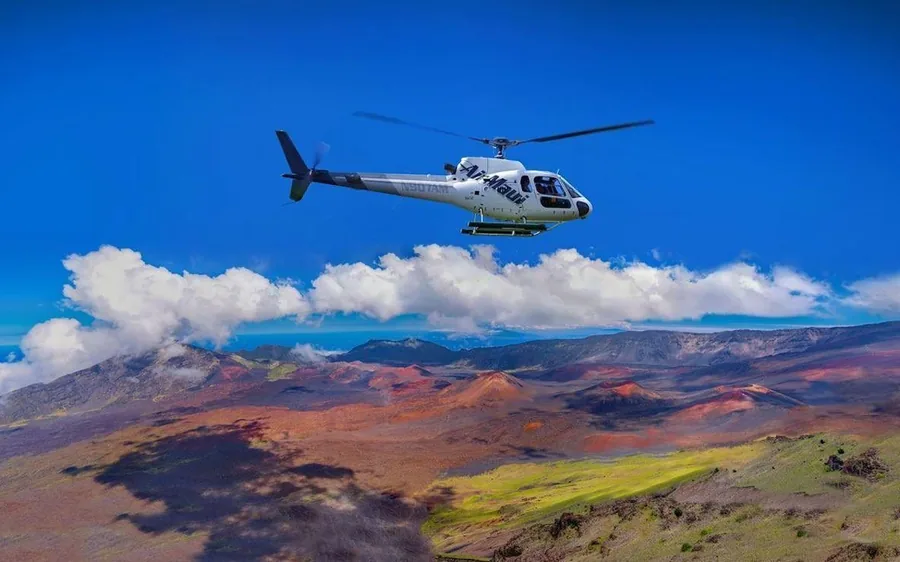
The summit. Haleakala rises to 10,023 feet, and the basin at the top is not a blown caldera in the way people expect. It is an erosional bowl, cut by two large valleys that met at the summit and were later partly refilled by cinder cones. From the air the cones read as a row of red and black mounds on a grey floor, and the scale only makes sense when you notice how small a helicopter’s shadow is on it.
The windward flank. Below the summit, the eastern slope is cut by dozens of stream valleys. This is where the water is, and it is where almost every Maui waterfall you have seen photographed actually sits. The famous roadside ones are the minority; most are in closed valleys with no road, no trail and no viewpoint, which is why the flight exists.
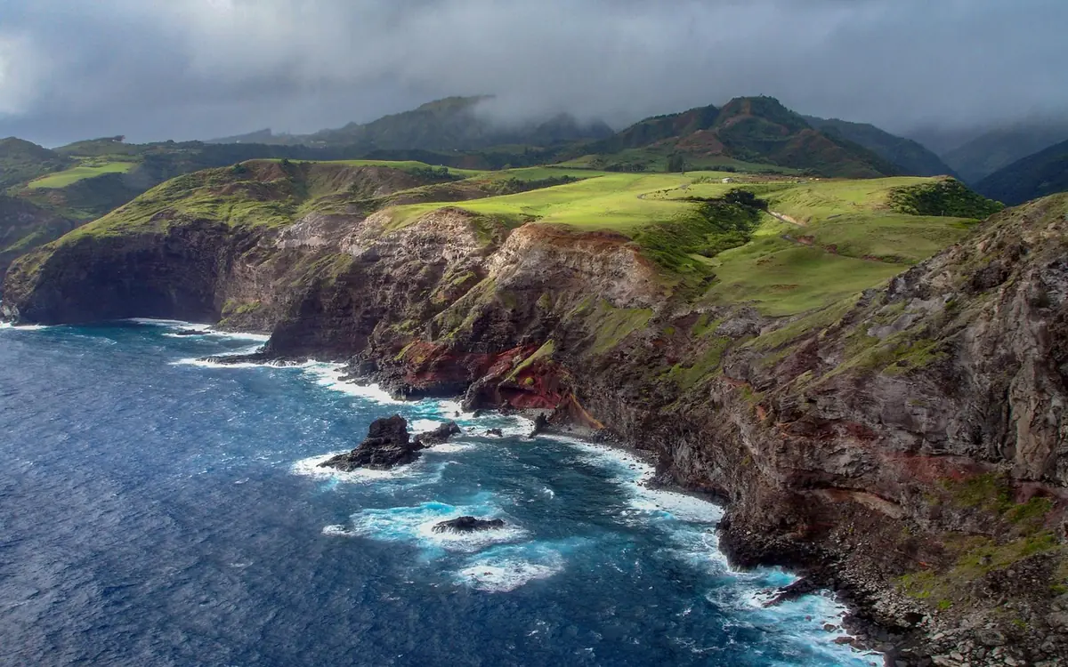
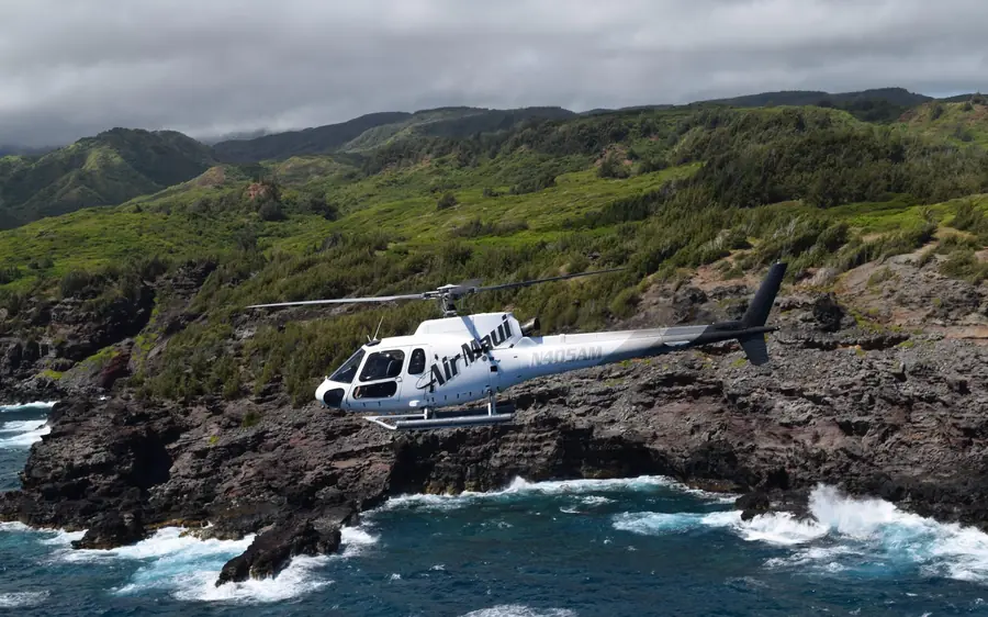
The Hana coast. Black rock, surf, stream mouths and the pools at Ohe’o. The road follows this coast for 620 curves; the helicopter covers it in about twelve minutes, and sees around the headlands the road has to go inland to avoid.